
- Local Guides Connect
- :
- Share Your Photos and Discoveries
- How Romans used to build roads and why they were s...
- Subscribe to RSS Feed
- Mark Topic as New
- Mark Topic as Read
- Float this Topic for Current User
- Bookmark
- Subscribe
- Mute
- Printer Friendly Page
10-23-2017 08:28 AM - edited 10-23-2017 08:44 AM
How Romans used to build roads and why they were so good in mapping
On saturday, during our exploration, me and the other part of #kudocouple, @DanielaBP discovered this little ruin on the Appian Way: https://goo.gl/maps/rsgaVFpyjB12

The stone says:
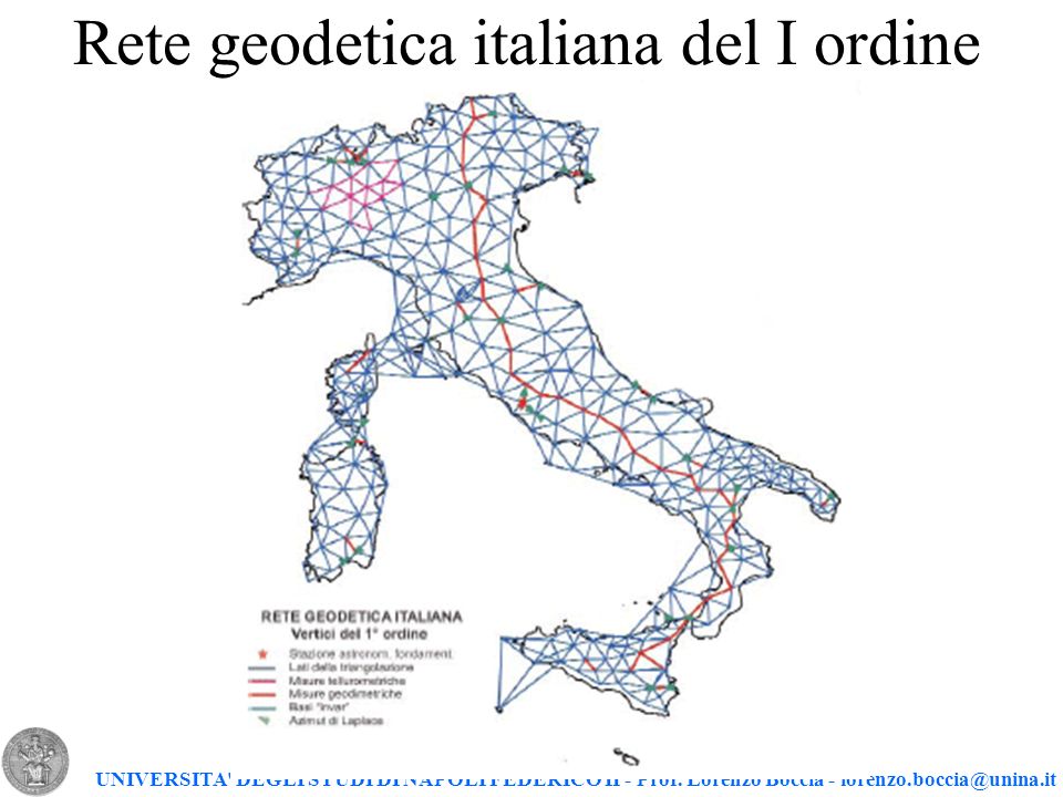
"In the year 1855, P.A. Secchi following the studies of P. Boscowich with full details, measured along the Appian Way a geodetic base, and in the year 1870 to establish on the two nodes of this line, this trigonometric point and the other one being in Frattocchie, building a new geodetic base, that was used to verify the entire italian geodetic base, built on 1871 by the officers of Corpo di Stato Maggiore inside the European grade measurement project."
Here you can see the line that join these two nodal points. Consider that Appian Way was built starting 312 BC, and the total lenght, at 244 AC, was of 360 roman miles (around 500 Km).

This is an example of great mapping and building capabilities of ancient romans; they didn't have lasers or advanced optical instruments, but they were able to build perfectly straight roads for miles and miles.
More info here (in Italian): https://www.parcoappiaantica.it/home/risorse-e-utilita/download/category/2-pubblicazioni?download=21...
P.S. Please note, all of these images have been uploaded to an external service due to 1000 photos limit in connect
- Mark as New
- Bookmark
- Subscribe
- Mute
- Subscribe to RSS Feed
- Permalink
- Report Inappropriate Content
10-23-2017 09:16 AM
Re: How Romans used to build roads and why they were so good in mapping
Gran articulo @LucioV, yo creo que a los romanos les debemos para bien o mal muchas cosas, y está es una de las grandes cosas que nos legaron. En ocasiones me gustaría pode ir al pasado y recorrer esos sitios cuando lo estaba construyendo. Incluso me gustaría que sea una opción de Google Earth viajar al pasado en un punto, de tal manera que pueda ver este tipo de documentos que nos compartes supongo que en algún momento podremos contar con ello 😀
- Mark as New
- Bookmark
- Subscribe
- Mute
- Subscribe to RSS Feed
- Permalink
- Report Inappropriate Content
10-23-2017 09:18 AM - edited 10-23-2017 09:19 AM
Re: How Romans used to build roads and why they were so good in mapping
Yes @FaridTDF! Was a dangerous era, life worth nothing, but I'd love to see all these great buildings to came to life.
Another great engineering wonder are the Acqueducts... hundred of kms with vertical drops with cm accuracy.
- Mark as New
- Bookmark
- Subscribe
- Mute
- Subscribe to RSS Feed
- Permalink
- Report Inappropriate Content
10-23-2017 09:28 AM - edited 10-23-2017 09:29 AM
Re: How Romans used to build roads and why they were so good in mapping
Si es verdad @LucioV, el otro día vi en NatGeo o en History Channel no recuerdo bien en cuál de los dos sobre un sistema de acueductos en una isla del Egeo y lo más fantástico que me pareció el sistema de hormigón que fragua en el mar inventado por ello y nosotros recién lo re descubrimos en siglos recientes, son cosas que casi parecen de otro mundo y no, fueron personas comunes y corrientes que tuvieron la libertad y la creatividad para pensar en forma lateral, donde todos eran uno, por lo menos en la época de oro del imperio.
Seria interesante contar con un hilo para este tipo de Post históricos relacionados a la geografía o maleo de lugares 🙂 🤔
- Mark as New
- Bookmark
- Subscribe
- Mute
- Subscribe to RSS Feed
- Permalink
- Report Inappropriate Content
10-23-2017 11:54 AM
Re: How Romans used to build roads and why they were so good in mapping
Hi @LucioV
Thanks for the informative post
No doubt that they were so good in every field like measuring, calculations and maths.
Many of the new era technology based on Ruman era theories.
Interesting post.
Thanks
- Mark as New
- Bookmark
- Subscribe
- Mute
- Subscribe to RSS Feed
- Permalink
- Report Inappropriate Content
10-24-2017 10:12 PM
Re: How Romans used to build roads and why they were so good in mapping
Interesting! It's amazing how they used to do or in the old days!
- Mark as New
- Bookmark
- Subscribe
- Mute
- Subscribe to RSS Feed
- Permalink
- Report Inappropriate Content
10-26-2017 04:17 PM
Re: How Romans used to build roads and why they were so good in mapping
And they made it all the way to the UK! Many of the roads in the UK were Roman. Very long and straight!
It's incredible to think how much they accomplished!
"What did the Romans ever do for us"! Hey.
- Mark as New
- Bookmark
- Subscribe
- Mute
- Subscribe to RSS Feed
- Permalink
- Report Inappropriate Content